")


By Brandon Long, Director of Public Sector & Smart City Innovation, Nexar
As Work Zone Awareness Week approaches, we wanted to write a few words about how technology can totally transform the way transportation agencies deal with work zones. Using technology makes for better safety and compliance and eventually creates a holistic understanding of how work zones impact the urban ecosystem.
- What does technology have to do with work zones?
Most people think of work zones as very physical phenomena – barriers, cones, barrels and signage. Where does technology come in? For them, it’s all about placing physical elements on the road.
The answer is simple: technology can “see” work zones and ensure they are compliant. Or, to better explain – Artificial Intelligence can be used to “see” work zones.
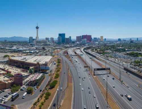
This of course doesn’t answer the question of where do work zone images come from. What RTC is using is a dash cam network where imagery is pulled from the dash cams as they pass work zones. You can read more about the network here. These images are then “fed” into an Artificial Intelligence model that detects work zones. The important point is that the dash cam network used in the Las Vegas Valley is large enough to see most work zones at least once a day.
- How exactly does this happen?
The most important part in this system is to make it useable by humans. If humans need to browse through thousands of dash cam images each and every day and find work zones, then the solution isn’t feasible. So what we need is Artificial Intelligence to do is to actually identify work zone elements and tag then. This is exactly what Nexar’s platform does.
Here’s an example of how this works:

The platform identifies elements that are associated with work zones and then makes a decision whether they are indeed a work zone. It examines:
- Grabber cones
- Drums
- Diamond signs (Warning)
- Rectangular signs (Regulatory)
- ArrowBoards
- Message boards
- Barricades
- Barriers, and
- Triangular cones
Sometimes it detects two elements and can identify a zone where a worker is not protected:

- What can be done with these detections?
Using the map, RTC can easily identify where work zones exist, which lanes and streets are impacted and examine the detections. This immediately translates into better safety, since RTC and the permitting agency that has jurisdiction over the roadway can check whether the work zone was set up correctly, whether it protects workers and whether it poses the minimal risk and disruption to traffic.
- When you begin monitoring work zones for safety more benefits follow soon
Not only are the RTC and permitting agencies able to see all work zones and ensure they are safe, they can do more things, showing the way for other such agencies nationally.
First of all, the RTC and permitting agencies are able to ascertain whether work zones were set up, maintained and removed according to the permit. Using detections and other imagery from Nexar they can also understand what impact the work zone is having on a given area, whether its blocking a bus only lane (see below), whether temporary traffic control devices were left lying around to form an obstruction and more.

In short, the RTC and the permitting agencies can see the big picture now and ensure that each individual work zone is compliant with the permit conditions.
- RTC and Work Zone Awareness Week
To sum it up, we are thrilled to have RTC as our partner in technology for work zone detection and management. Sometimes, even when you know your technology well, you need the partner with the vision to take your technology and dream of something radically better. Stay safe and go orange!