Thermal Imaging
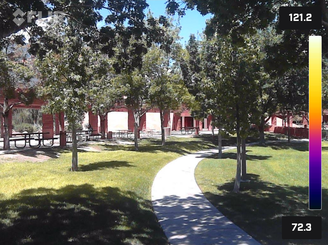
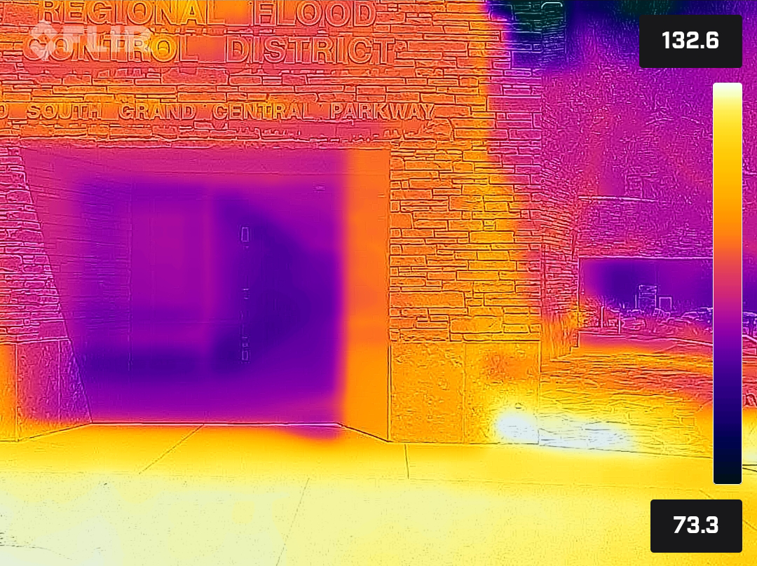
Several days after the Urban Heat Mapping Campaign, project organizers investigated heat around downtown Las Vegas using FLIR thermal imagery cameras and their intuitions about people, place, and heat. The FLIR One camera provides a thermal snapshot and estimation of surface temperatures within view, as pictured below.
The images were captured between 12:55 and 1:15 p.m. on Wednesday, August 17, 2022 with conditions at 99°F, 26% humidity, and 0 mph wind speed.
About
Several locations around downtown Las Vegas and the Clark County Government Center were explored with FLIR thermal cameras to capture images of heat present in various landscapes. The selected results below show landscapes and their thermal image equivalent.
In nearly all instances, areas covered in shade and/or natural vegetation were significantly cooler than unshaded and/or developed surfaces (such as roadways or buildings). The hottest surface temperature recorded was of the unshaded artificial turf outside the Cleveland Clinic Lou Ruvo Center for Brain Health (row 2, images 3-4). Click any image below to enlarge.


